

Distance: 7 miles
Time: 3 and a half hours
Parking: Park in the car park next to the Robin Hood Inn in Baslow. This is a National Trust car park so parking is free if you’re a member…just don’t forget to bring your card like I did!
This is a nice seven-mile route which combines a bit of uphill with some historical features and a walk through the Chatsworth Estate grounds. It also starts and finishes at a really great pub which is a great place to get lunch or a well-deserved pint when you’re back.

Please remember to bring a map with you on all walks and use the OS Maps app to track your route.
The route
Leave the car park and turn left onto the B6050 (not the main A6 road but the country lane that runs uphill). Continue to the house on the left and turn left onto the footpath which is marked with a signpost. Walk up the bank to a gate and go through here.
Keep following the path, ignoring any paths that go off to the right and continue to follow the wall on your left. Around a quarter of a mile from the road, the path starts to bear away from the wall. Follow the rocky path and you’ll find yourself below Birchen Edge.
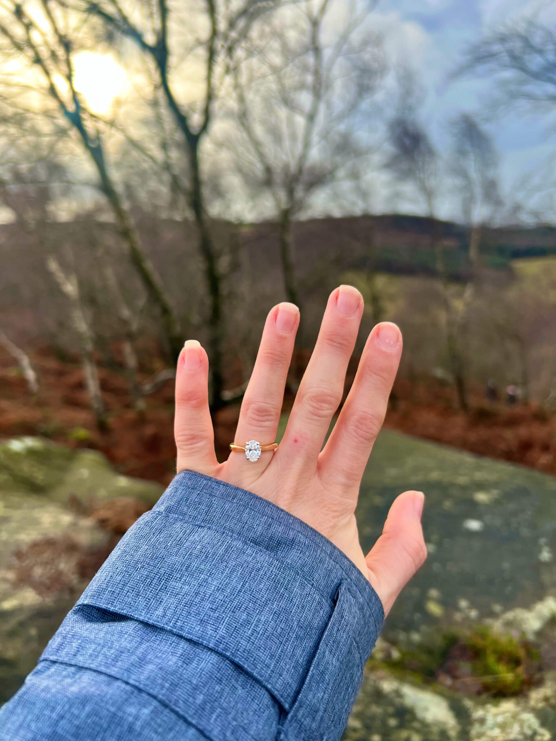
Fun fact: I got engaged here! It wasn’t supposed to be the spot but the footpath we were going to take was closed so we ended up here!
Look up here and you’ll see Nelson’s Monument on your right. The monument is a tribute to the Battle of Trafalgar and stands 1,000ft above sea level.
As you reach the end of Birchen Edge, the path veers away from the edge and winds down through moorland and heather. If you’re lucky enough to visit during the summer months, the heather will be a beautiful purple in colour.
Once you get to the edge of the moorland, cross the stile and the road in front of it. Head up the minor road opposite here. At the top of the hill turn left through a small gate and then immediately turn right onto a track.
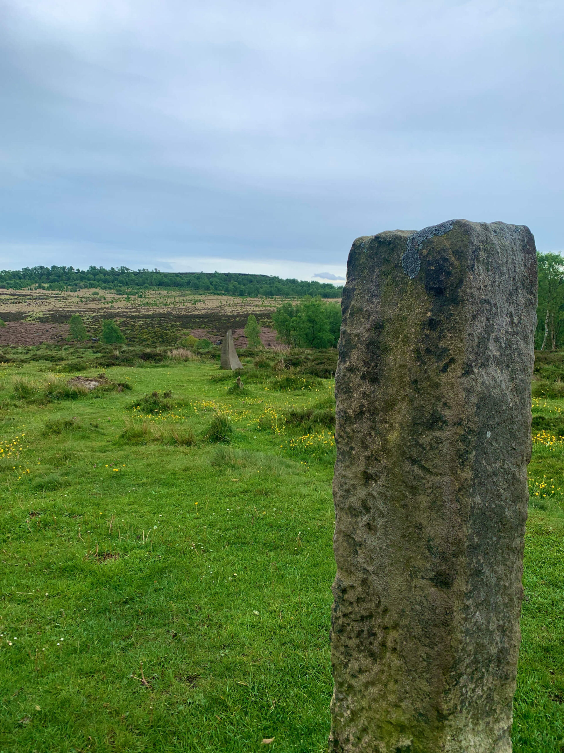
Follow the track with the wall on your right. Eventually you’ll see a stone pillar and the Eagle Stone on your right. Further along still you’ll see the Wellington Monument on your left. Here you also get some amazing views of Chatsworth House and there’s a bench where you can enjoy a snack or some lunch.
After you’ve rested your legs, continue along the track for around 150m and when you come to a T junction, take the track on the left. Follow this wide, stony track downhill and go through a gate at the bottom.
Continue down this track which has walls and hedges on either side until you reach Bar Road, which is a surfaced road. Continue down Bar Road, passing a road on the left and a road on the right. When you get to the grass island turn left and walk down Eaton Hill.
You’ll soon be in Nether End, Baslow so cross the main road here, heading towards the car park. There’s a small shop here which makes a great place to stop for an ice cream.

If it’s a shorter walk you’re after, this five and a half mile Chatsworth circular walk starts at the Nether End car park. It’s a nice route for a chilled Sunday morning stroll with a coffee stop.
Turn left on the pavement closest to the car park, passing a tea room on your left. Cross the bridge here and turn right into the Chatsworth Estate, passing some holiday cottages and eventually coming to the kissing gate.
Follow the path to the white lodge and then turn left up the road, which is surrounded by grass on either side. When you come to a T junction, take the right turn and follow the road for about half a mile.
If you’ve got a dog with you, just watch out for cars along this road.
When you arrive at the house, walk up to the stable block where you can also grab some food and drink if you need to. Pass the stable block on your left and then continue up, passing the Chatsworth Farmyard, also on your left.
When we did this walk, they also had the Burning Man statues in the grounds at the Chatsworth Estate, so we had a walk around these. They’re pretty epic so if they’re still there when you go, make sure you have a look.
Keep following this road and follow signposts for Stand Wood. Keep your eyes peeled for three coloured arrows on your left on a low sign and turn left here, following the path.
The path here is narrow and you’ll be able to see rhododendrons and laurels. Continue up the narrow path and you’ll soon be climbing some steep steps up the Hunting Tower.
The steps can be a little taxing so the Hunting Tower is a great place to take a break. There are benches here so you could enjoy a drink or a picnic to refuel.
Turn left at the tower and follow the road around then keep left along a surfaced road which runs through the woods. Before you get to a gate, turn left and follow a wall on your right through the woodland.
Cross the stile, then turn right then left, following the wall as you go. The path will soon bear left and there’s another stile to cross.
Keep straight across a field along the Dobb Edge path before crossing a stile in the corner of the field. Follow the narrow rocky path and cross over two more stiles.
As you get to the end of Dobb Edge, you’ll cross another stile before heading left downhill. The route is waymarked here so follow the markers and continue down until you get to some steps taking you down to a bridge crossing a stream.
The bridge here is damaged so you may need to look for an alternative route, if the weather has been bad. If it’s dry, you may be able to cross the stream. Head up the steep steps back to the roadside.
Cross the A road, taking extra care to look out for traffic, and return to your starting point at the Robin Hood pub.
This route was taken from Visit Peak District and Derbyshire.
Find more Peak District walks here.